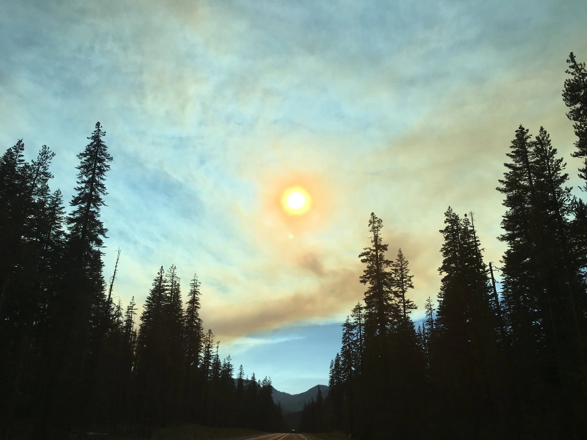
Air Quality Index
7-day significant fire potential
These maps are a compilation of Geographic Area 7-Day Significant Fire Potential Outlooks. Click here or on the image above to learn more.
Current Fire Information
These regional Facebook pages often contain up-to-date incident information.
Fire Resources
These websites offer additional information on fire incidents, active wildfires, smoke, and forecasts.
California Fire Tracker (includes Oregon)
Wildfire Preparedness Resources
Sign up for Emergency Alert Notifications
Jackson and Josephine Counties
Nixle Alerts: On a cell phone, text zip code to “888777” to sign up for emergency and “advisory” text alerts.
Disclaimer: Information posted on this website is for information purposes only. For official information, contact the Wildfire Agency in your local area.


